
Parkalytics
Automatic Georeferencing for UAV video
World coordinates for observations in UAV data are valuable for tracking real objects e.g., vehicles. However, robust automatic matching between image and world coordinates remains elusive. Changes in camera pose are common in video captured from UAVs, and can be challenging. This student team will work to build a process for automatically georeferencing video from UAVs, detect and match features for georeferencing, track and update features under pose changes, and output georeferenced video and transforms. The key milestones this student team will work to accomplish are: - a Literature review and data set gathering - A basic prototype that is functional - Field testing and integration -Iteration
Faculty Adviser(s)
Jenq-Neng Hwang, Electrical & Computer Engineering
Cheng-Yen (Chris) Yang, Electrical & Computer Engineering
Related News
Elevating emerging engineers
The Industry Capstone Program partners UW Engineering students with sponsor organizations to devise innovation solutions to real-world problems.
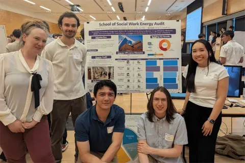
Capstone collaboration leads to award
An ME capstone team received first place for its energy audit of the UW School of Social Work building.
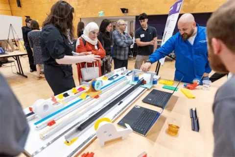
Capstone creations
Students displayed innovative capstone design projects at the 2025 expo.